Soil data & Monitoring, mapping and modelling
The following are public publications produced based on EJP SOIL research deliverables within the research of Soil data & Monitoring, mapping and modelling.
Click on the report image for access to the full report.
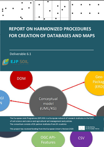
Abstract: Harmonized procedures for creation of databases and maps (6.1)
Many research and policy advice depends on the presence and quality of adequate information. For
soil related research and policies, this is existing or newly collected data about soil, soil properties, use,
functions, quality and threats. Often the quality and the possible extent of the research and policy
advice strongly depends on the available data.
This report aims to provide a common basis, a synthesis and a reference for available knowledge on the
best practices in this soil data workflow at EJP SOIL partners, aimed at soil institutes.
Click here or on the report image for access to the full report.
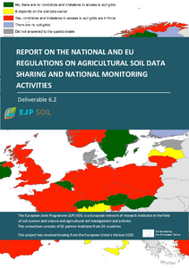
Abstract: National and EU regulations on agricultural soil data sharing and national monitoring activities (6.2)
This report presents the results of research objectives aiming at analysing the state of implementation of EU-Directives (mentioned in the report) and the implications linked to their transposition in relation to soil information. Agricultural soils are usually under private property in Europe, therefore the public right to have access to environmental information, must be balanced with the right of landowners in relation to their properties. Member States are allowed to a certain flexibility in the transposition of EU-Directives, given their national legislations, therefore the national transposition may be changed substantially.
Click here or on the report image for access to the full report.
Abstract: Proposal of methodological development for the LUCAS programme in accordance with national monitoring programmes (6.3)
This document presents the main questions when developing a soil monitoring programme, reviews previous existing studies and documents, analyses the survey made within EJP SOIL partners and underlines possible ways of harmonization and collaboration between national monitoring programmes and the EU LUCAS programme in the frame of the EU Soil Observatory.
Designing and implementing a Soil Monitoring System (SMS) requires at least to choose: (i) the statistical sampling design, (ii) the field sampling strategy in time and space (including the number of samples to be collected in the field and the area of collection), (iii) the entity that is sampled (i.e. pedogenic horizons or fixed depths increments) and how (e.g pits, augering, spade), (iv) the total thickness over which soil is sampled (i.e. topsoil, down to 1m, 2 m… or the parent material), (v) the way the samples are managed (e.g. composite sample), prepared and analysed and (vi) the metadata that is to be collected and stored (data about the sampling itself, its location and surroundings) to interpret the results. All those choices represent possible variations that enable the results to be compared.
Click here or on the report image for access to the full report.


